Water supply
(OS&Y)

Access Points
Hazards
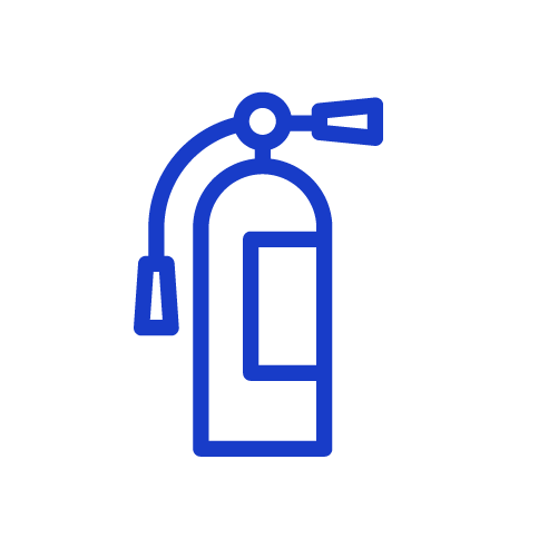
Fire Extinguishers
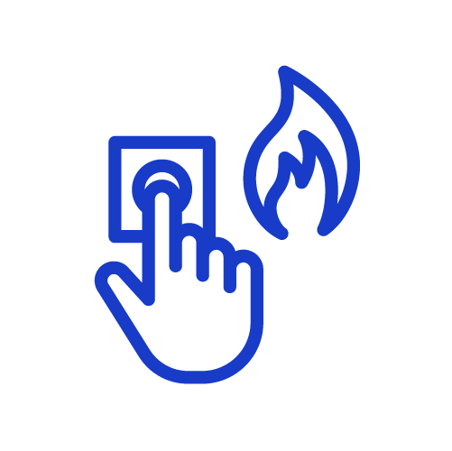
Fire Alarm
Control Panels

Fire Hydrants

Gas Main

Roof Access

Fire Department
Connections
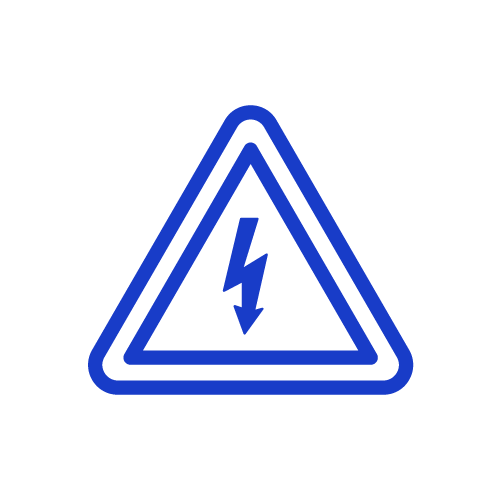
Electrical Hazards
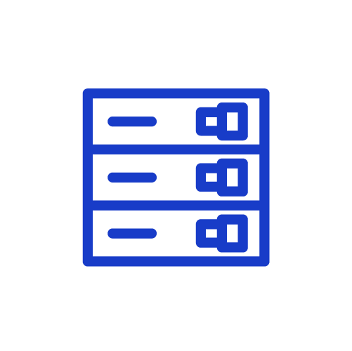
Electrical Breakers
Post Indicator
Valves (PIV)

Chemical Hazards

Entry Points